This morning we woke up early (about 6) when Sharon got too wet from the leak to stay asleep anymore. We made coffee, then I went to make omeletes for us for breakfast, and discovered that some of the eggs had frozen solid in the fridge - whoops, I guess that the eggs aren't going on the bottom of the fridge anymore.
Once I thawed the eggs, I made asparagus and mushroom omelets, then we packed up the camper to head back up to the mountain.
This time, we decided to stop at all of the little waypoints on the way up that were open (many weren't). First we stopped at the buried A-frame:
 |
| The house was less than a week from being occupied when the mudflow hit |
 |
| From the side |
Unfortunately, someone also decided to create this to try to increase tourist traffic:
 |
| Why? |
About 17 miles from the Johnson observatory, you see this sign:
Beyond this point was the tree kill zone - between the blast and the heat from the pyroclastic flow, all the trees beyond this point were killed. Because this area was managed by Weyerhauser lumber, they then planted a monoculture of noble fir, which (because of the time of year) produces a very strange looking striated forest:
 |
| The striated forest |
To me, this looked like a very straight Moire pattern or some other computer graphics artifact.
The sign is at the edge of this bridge, which is pretty impressive in and of itself:
 |
| The Hoffstadt creek bridge |
A little further up the road, Sharon and I stopped in at one of the visitor centers / outlook points:
 |
| Sharon and Bird in front of the river of volcanic mud |
The gift shop there actually had a sale going on, and Sharon picked up a couple of pieces of fleecy clothing, and I picked up a new floppy hat, since I managed to lose my other one somewhere.
As we traveled further up the road, there were some really impressive scenes. I think the part that impressed me the most was just the logs which were exposed by later subsequent erosion sticking out from the walls of volcanic mud:
Near the Johnson observatory, you can see the effects of the full blowdown:
 |
| All the trees were blown down by the blast |
 |
| They just snapped off |
Finally we got up to the Observatory - we still can't view the lava dome through the fog, but the sights were fun nonetheless, and the observatory has a couple of really neat interactive displays and some good programs.
 |
| Sharon in her raingear at the observatory |
 |
| Me at the Observatory with my new floppy hat |
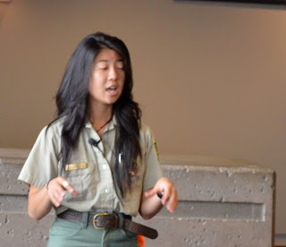 |
| Gratuitous Ranger pic |
On the way back down the mountain, after we crossed the bridge shown above, we saw this sign.
In Kid's Valley, we decided to eat at Patty's place, which was actually quite good, and not too expensive, considering how little there is from here up to the observatory.
 |
| Good food, and not ridiculous prices |
We then headed south to Portland to visit my friend Tanya and her family for a day before we head back north into Washington, and I get back on my bike to aim for Astoria and turn south down the coast.


Those are great pictures, Matthew. Love the striated forest!
ReplyDelete