It was drizzling, and grey. I rode off in my rain gear and started putting down some miles. As I crossed a bridge, I saw that directly below the bridge lay the Simon:
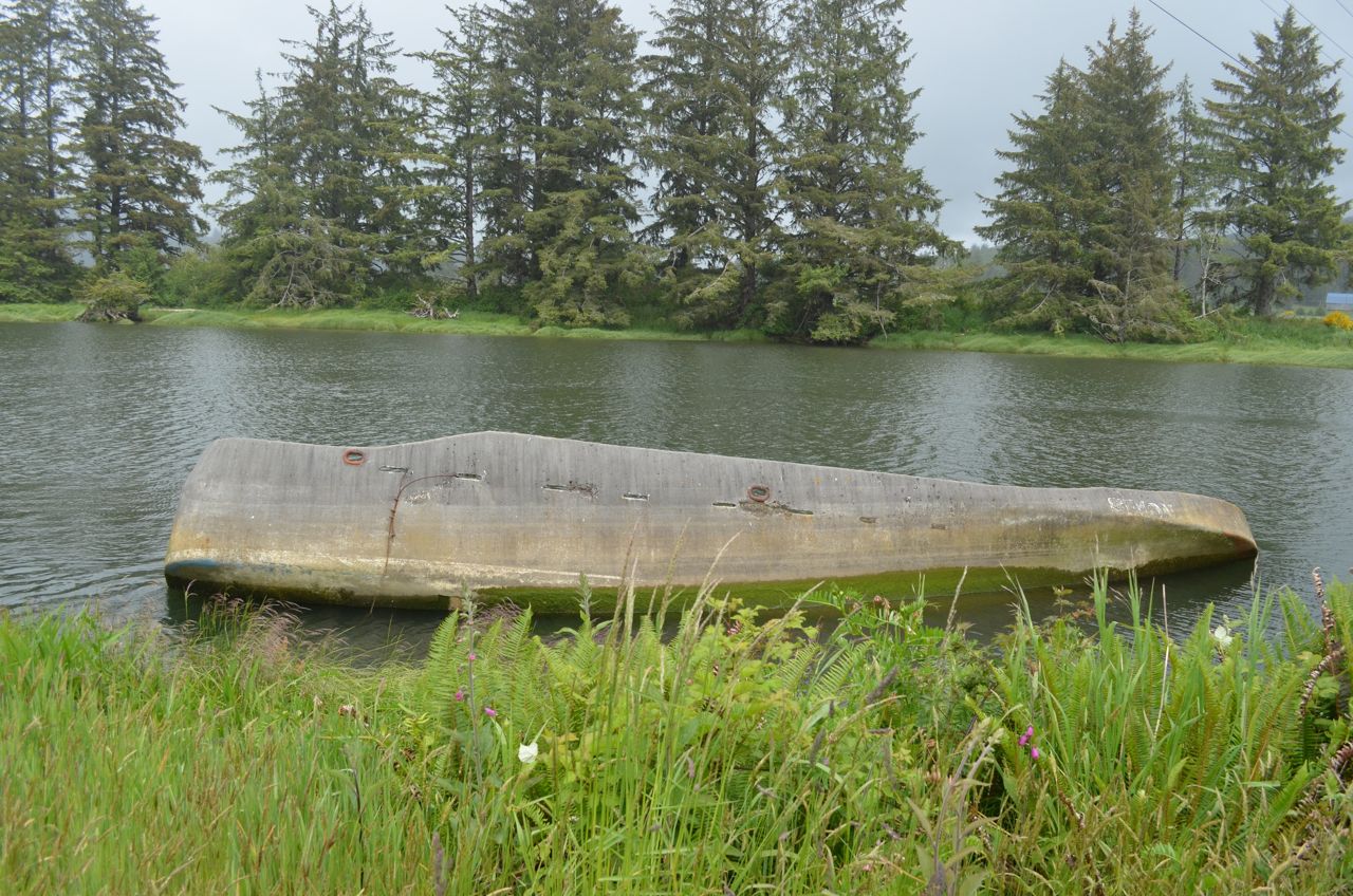 |
| Simon says "blub" |
In Neskowin, I pulled into a little park to use the bathroom, and I met three Brits who had done the same.
 |
| My first real contact with other cyclists on the trip |
At Neskowin, the route leaves US101 for the scenic route, which includes parts of old US101. Partway up the road, the forest service has put up this sign:
 |
| the scenic drive sign |
By the time I came out at Otis, I was kinda cold, and getting rather hungry, so I stopped in at the shop at the corner where the scenic drive emerges. I got a cup of coffee and a corn dog (which was good, but a bit pricey for a corn dog)
 |
| They had a good, fresh corn dog (I saw it go into the fryer) |
I then rode around the East side of Devil's Lake, mainly avoiding Lincoln City, which was a good thing. Outside Lincoln City, I saw this collection of old streetcars and stuff which had been turned into stores:
 |
| "Streetcar Village" |
Further down the road, I came across Boiler Bay:
 |
| The sign for Boiler Bay |
 |
| Boiler Bay |
The next wide spot in the road was Depoe Bay. For some reason, I can't quite believe this sign, though:
 |
| This is something to brag about? |

 |
| This fella looked like he owned the joint |
 |
| The roots of these trees form a wall |

Immediately after the Otter Crest loop is:
 |
| Must be interesting |
Distance: just under 50 miles (android phone acting up, so I don't know the exact distances).
Music:
Counting Crows – Recovering the Satellites
Dire Straights – Love over Gold
The Gourds – Shinebox (Gotta love their bluegrass cover of
Snoop Dogg’s Gin and Juice)
The Dead – American Beauty
The Dead – Workingman’s Dead
No comments:
Post a Comment